
Global Destination for Culture & Urban Renewal
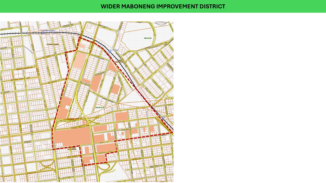
The Wider Maboneng Improvement District (WMID) was formally established in 2009 as a voluntary City Improvement District (CID) and subsequently registered as a Non-Profit Organization (NPO).
Administration of the WMID is guided by its MOI, which sets out the exact perimeters within which the CID operates. Maboneng has transformed into an internationally celebrated hub for creativity, dining, residential living, and public art.
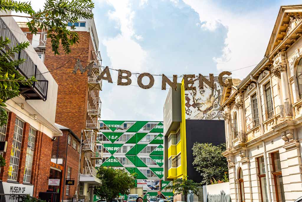
Current Operational Deployment
10 Cleaners
Monday – Friday (07h00 – 16h00) keeping streets & event spaces clean
12 Community Patrollers
Daytime visibility & ranger assistance (06h00 – 18h00 daily)
Night Shift Patrol
Private Security Patrol operating from 18h00 to 06h00 every night
The Walkable Network
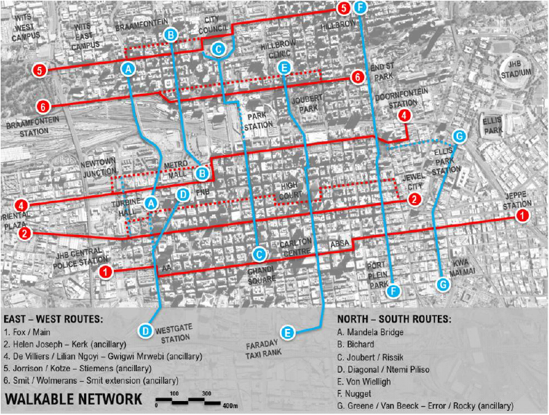
Maintained through multi-agency partnerships, the Walkable Network provides safe, visible, and monitored pedestrian routes connecting Maboneng to major transit stations, academic institutions, and neighboring districts.
Key Corridors:
- East-West: Fox / Main St, Helen Joseph – Kerk, Lilian Ngoyi, Jorrison / Kotze, Smit St.
- North-South: Mandela Bridge, Bichard, Joubert / Rissik, Diagonal / Ntemi Piliso, Von Wielligh, Nugget, Greene St.
Improvement District Boundary Map
Official Wider Maboneng Improvement District Map
Key Strategic Objectives
Clean Environment
Maintain exceptional cleanliness across high-footfall tourist, dining, and gallery streets.
Proactive Safety
Provide robust security through continuous day & night patrollers and mobile vehicle response.
Infrastructure Care
Monitor roads, street lighting, public health, tree maintenance, and municipal by-law enforcement.
Economic Vitality
Support tourism, outdoor market activations, creative businesses, and property value appreciation.
Chris Ndlovu
Urban Manager — Wider Maboneng Improvement District